As we’ve learned, organizations like NASA use satellites like the Landsat series to measure changes in Earth’s surface. These satellites provide scientists with critical data for understanding climate change and taking action.
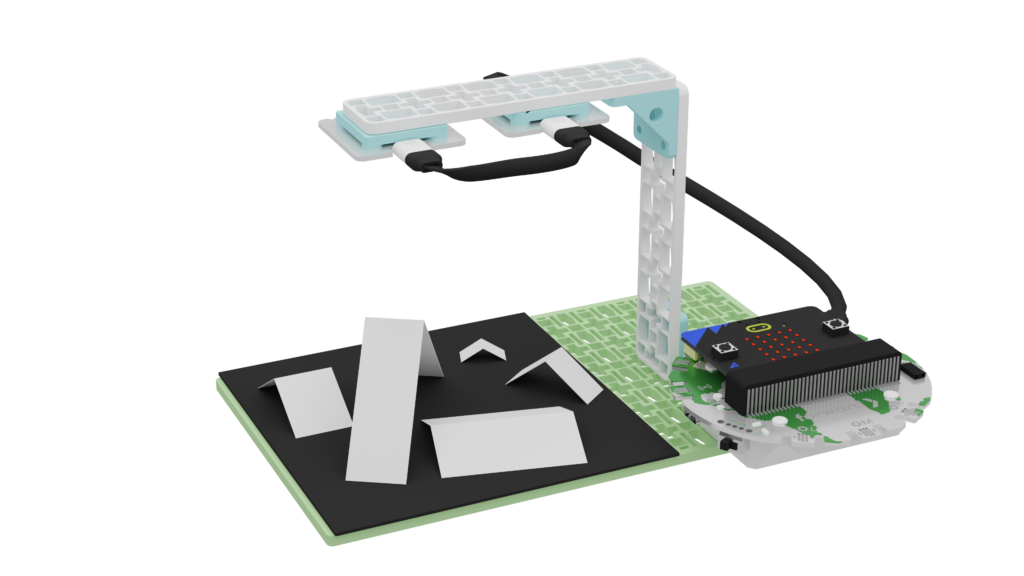
Now, it’s your turn to become a climate scientist! Let’s imagine we are Remote Sensing Technologists, and build our own glacier satellite prototype with the Climate Action Kit.
Our satellite prototypes will use a solar sensor. This satellite will measure the amount of light reflected off the Earth’s surface. We’ll use this information to estimate how much ice (or glacier) is present! Remember: More ice should mean more light is reflected back to the sensor!

You can complete this project a few different ways:
Use

Follow steps to build & use your satellite!
Modify

Follow steps to build & code your satellite!
Create

Design, build & code your own satellite from scratch!