Sea Level Scientist

Sea Level Scientist
Job Sector
Energy and Natural Resources
Potential Salary (USD)
Low End: $40,000.00 /yr
Avg/Med: $85,000.00 /yr
High End: $160,000.00 /yr
Education Required
- Bachelor of Environmental Science, or
- Master of Oceanography, or
- Master of Marine Biology or Affairs
Job Outlook
The demand for Sea Level Scientists is expected to grow as climate change increasingly impacts coastal areas. Governments, research institutions, and NGOs are investing in climate resilience and adaptation projects, creating more opportunities for experts in this field.
Career Profile Overview
Sea Level Scientists are specialized researchers who study the factors influencing changes in sea levels, including melting ice sheets, thermal expansion, and ocean currents. Their work is crucial in understanding the impact of climate change on coastal regions and predicting future risks such as flooding, erosion, and habitat loss. These scientists are also known as Marine Geologists, Paleoceanographers, or Paleoclimatologists and often look at past and current data to make assessments about the future.


Key Responsibilities
Data Collection and Monitoring
- Use satellite imagery, tide gauges, and remote sensing tools to track sea level changes.
Climate Modelling
- Develop and refine climate models to predict future sea level scenarios.
Impact Assessment
- Assess the effects of sea level rise on ecosystems, infrastructure, and communities.
Policy Development
- Provide scientific guidance for designing coastal protection strategies.
Educational Path
High School
- Focus on advanced coursework in math, physics, environmental science, and computer science.
Postsecondary
- Required in fields such as oceanography, environmental science, or geophysics.
Advanced Degrees
- Often preferred for advanced research roles or academic positions. Specializations in climate science or hydrology are common.
Certifications
- Proficiency in Geographic Information Systems (GIS) and remote sensing tools can be beneficial.
Entry-Level
Environmental Technician
- Collects and analyzes environmental data for monitoring and compliance.
Research Assistant
- Supports scientific research by conducting experiments and collecting data.
GIS Analyst
- Creates and analyzes geospatial data for mapping and decision-making.
Mid-Level
Climate Scientist
- Studies Earth’s climate systems and models climate change impacts.
Coastal Engineer
- Designs solutions for coastal protection and sustainable development.
Marine Policy Specialist
- Develops and advocates for policies related to ocean governance.
Senior-Level
Lead Oceanographer
- Directs oceanographic research projects and interprets data.
Climate Risk Manager
- Identifies and mitigates climate-related risks for organizations.
Director of Coastal Resilience Programs
- Leads initiatives to enhance coastal communities’ resilience to climate impacts.
Skills and Qualities
Data Analysis
- Ability to interpret complex data sets and climate models.
Software Proficiency
- Expertise in GIS, remote sensing, and climate modelling software.
Communication
- Capable of explaining scientific findings to policymakers and the public.
Teamwork
- Works effectively in multidisciplinary teams involving scientists, engineers, and policymakers.
United States
Scripps Institution of Oceanography | California
- Programs: Bachelor’s and Master’s in Oceanography and Climate Science.
- Website: Scripps
Columbia University | New York
- Program: Master’s in Climate and Society
- Website: Columbia University
University of Washington | Washington
- Program: Bachelor’s in Oceanography, Master’s in Marine Affairs.
- Website: U of Washington
Canada
University of British Columbia | British Columbia
- Program: Bachelor’s in Environmental Science, Master’s in Oceanography.
- Website: UBC
Dalhousie University | Nova Scotia
- Program: Bachelor’s and Master’s in Marine Biology.
- Website: Dalhousie
University of Victoria | British Columbia
- Program: Bachelor’s in Earth and Ocean Sciences, Climate Studies.
- Website: UVic
NASA Sea Level Change Team (N-SLCT)
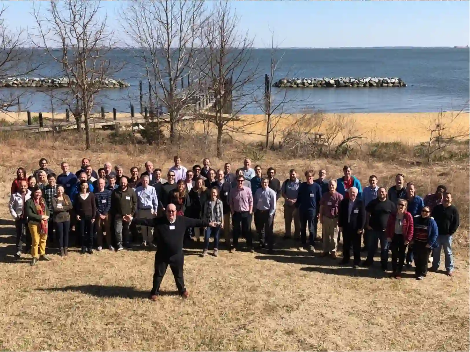
The N-SLCT was established in 2014 with the goal of improving the understanding of regional relative sea-level change on a range of timescales. NASA sought to build an interdisciplinary team of scientists that could work in a collaborative environment and tackle these scientific challenges.
Contributions
The team is working on various projects like “Contributions to Coastal Sea Level Extremes: Understanding the Past and Projecting the Future” and “Attributions of past regional sea level variations and projection of future sea level changes” to determine predictions of what the future might hold for our coastlines and environment.
Source
National Aeronautics and Space Administration: NASA